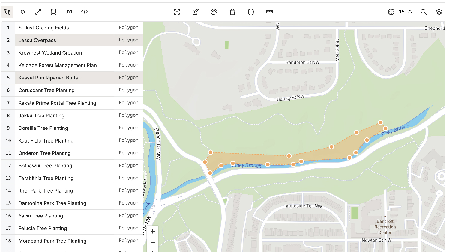
Enhanced Map Editor
We've created a more powerful geospatial tool. FieldDoc continues to raise the bar when it comes to geospatial data management, offering powerful tools to handle geospatial information alongside your other project data.
With our latest updates, we’ve enhanced the platform’s ability to manage, visualize, and analyze geospatial data, giving you even more flexibility and insight. Whether you’re tracking restoration projects, analyzing environmental impacts, or sharing results with stakeholders, our new mapping and data visualization features make it easier than ever.

The new Map Editor in FieldDoc is more intuitive and powerful than ever. We've taken the tools you know and love and supercharged them to offer a seamless geospatial editing experience. Now, you can edit records and geometries directly within the same view, which means less time switching between screens and more time refining your data. You can also customize geometry colors, import spatial data from external sources, and even create new activities directly on the map.
Whether you're drawing new project boundaries, updating restoration sites, or visualizing the spread of your work, the enhanced Map Editor gives you full control over your geospatial data.
Documentation: Map Editor
