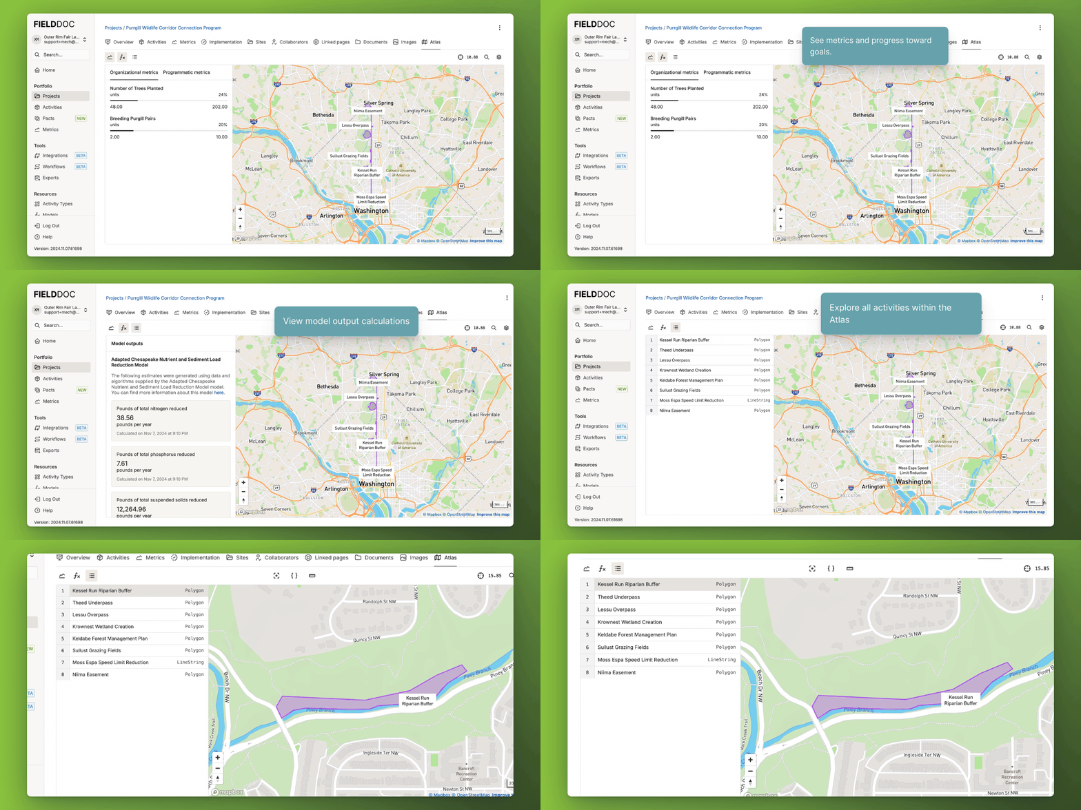
Atlas
Geospatial views with analytics at your fingertips. We’ve made it easier than ever to access and visualize your geospatial and metric data with Atlas Views.
Now, you can dive into your data from virtually any context—whether you’re viewing an individual project, a larger program, or your organization’s entire portfolio. With just a click, you can launch an interactive map view that combines geospatial data with key metrics, making it simple to analyze performance, track progress, and communicate results. This expanded access to Atlas views transforms how you interact with your data, providing real-time insights and the ability to make more informed decisions.
By enhancing both the Map Editor and Atlas Views, FieldDoc is making it easier to scale, track, and share your data across all levels of your organization and with external partners. Whether you’re managing multiple projects or simply looking to visualize the impact of your work, these tools ensure you have everything you need to make the most of your data.

